Free Shipping – Store Wide
China Travel Map 1:4,000,000
China Travel Map 1:4,000,000
A$34.80
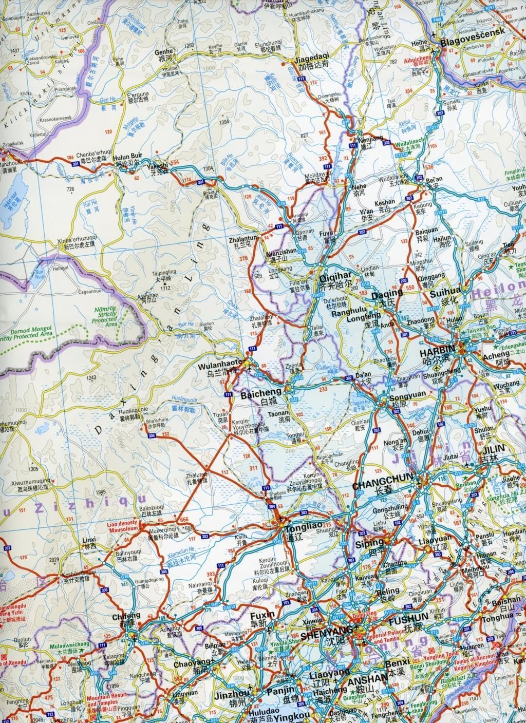
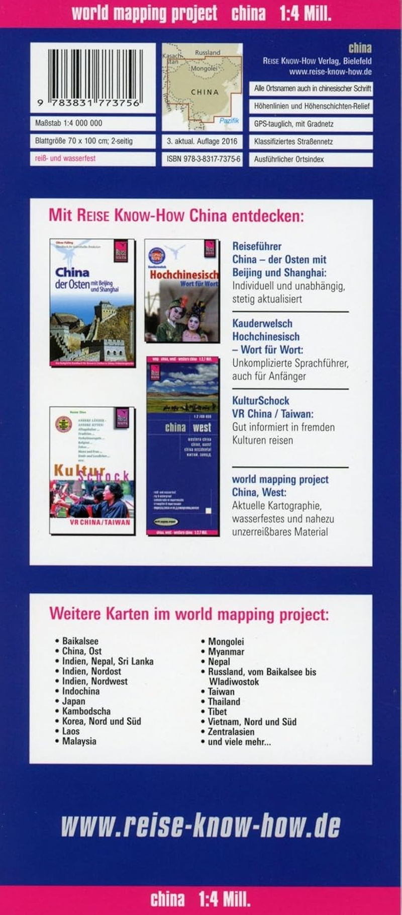
China at 1:4,000,000 on light, waterproof and tear-resistant plastic paper, with both topographic and tourist information. The map, part of Reise Know-How's highly acclaimed "World Mapping Project", is double-sided to provide the best balance between a good scale and a convenient size sheet.
Topography is indicated by altitude colouring with spot heights and names of mountain ranges, hills and deserts. Salt lakes, swamps, seasonal rivers and glaciers are also shown. Detailed presentation of the road network includes minor roads and tracks. The map also shows the rail network and local airports. Administrative units are shown with their boundaries and names. National parks and other protected areas are highlighted. A wide range of symbols mark various places of interest including the Great Wall of China, UNESCO world heritage sites, temples, beaches, etc. Latitude and longitude lines are drawn at 4º intervals. Map legend includes English.
All place names are shown on the map both transliterated and in the Chinese script. The index of localities lists only the transliterated names. Coverage includes the whole of Mongolia, North and South Korea, Bhutan and Nepal.
* World Mapping Project * is an extensive series of maps at varying scales, aiming to provide coverage of countries and regions worldwide using clear, well presented cartography with both topographic and tourist information.
- Publisher: Reise Know-How; 3rd edition (15 June 2016)
- Dimensions: 11.8 x 0.9 x 26.2 cm
- Language: English, Spanish, French, Russian, German
- Map: 1 pages
- Book Type: Map
- ISBN-10: 3831773750
- ISBN-13: 978-3831773756
A$34.80
Shipping to Australia
Delivery time varies by location
Return & Refund Policy
Check our return & refund policy
Security & Privacy
Safe payments: We do not share your personal details
Availability:
-
In Stock
Sign in
or create an eMega account
Shop smarter — get exclusive deals & order tracking