Free Shipping – Store Wide
Greece Adventure Map: Travel Maps International Adventure Map: 3316
Greece Adventure Map: Travel Maps International Adventure Map: 3316
A$40.60
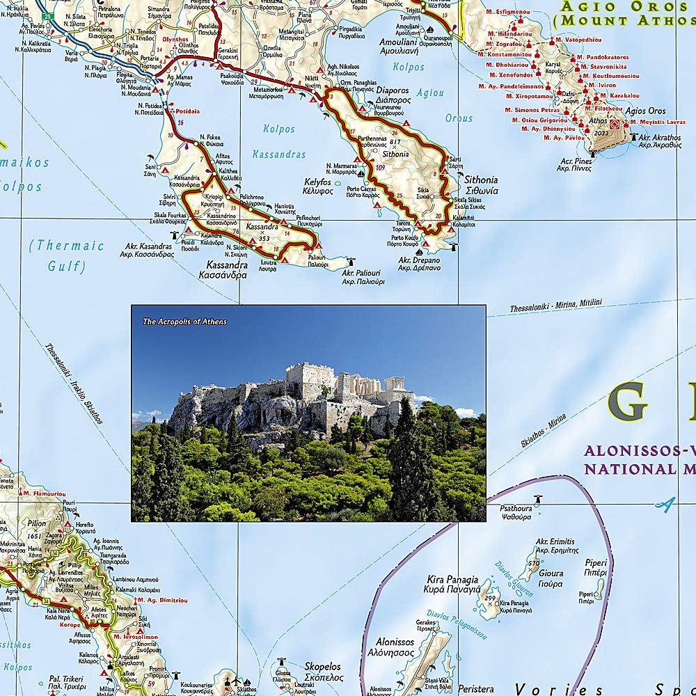
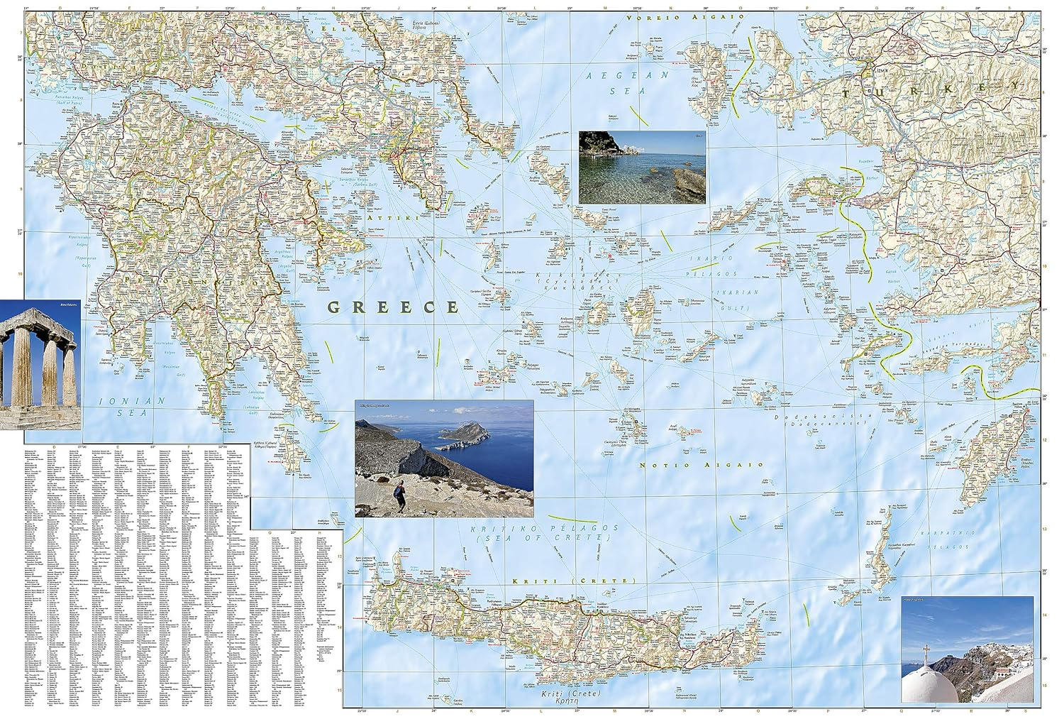
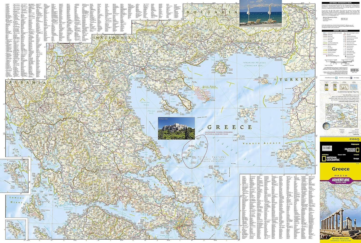
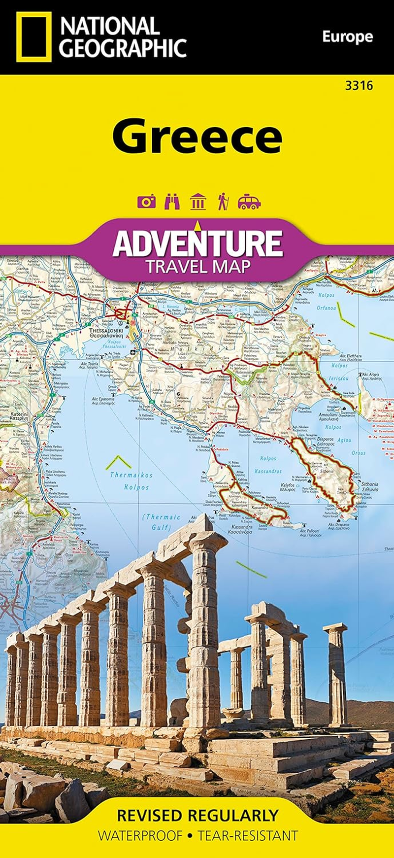
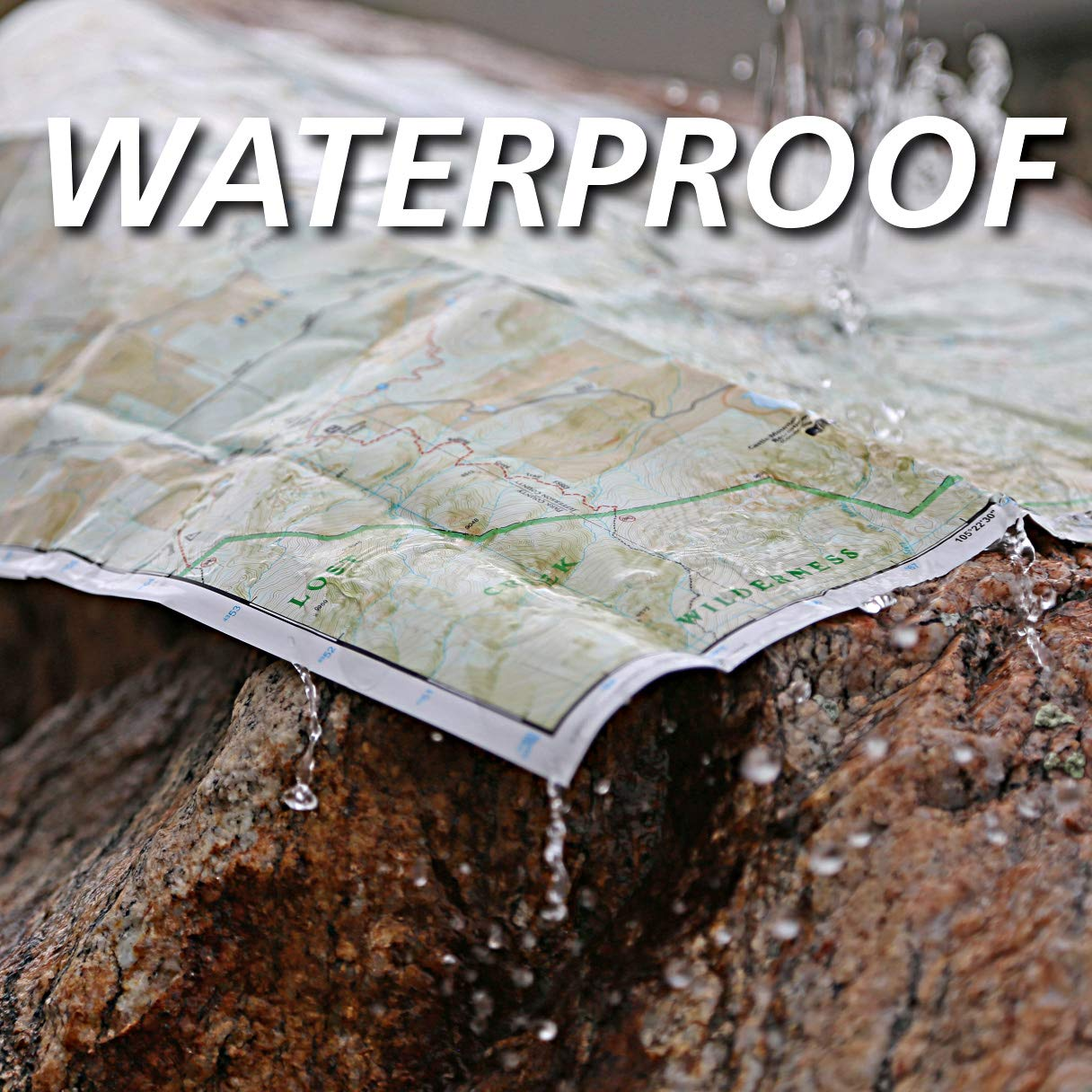
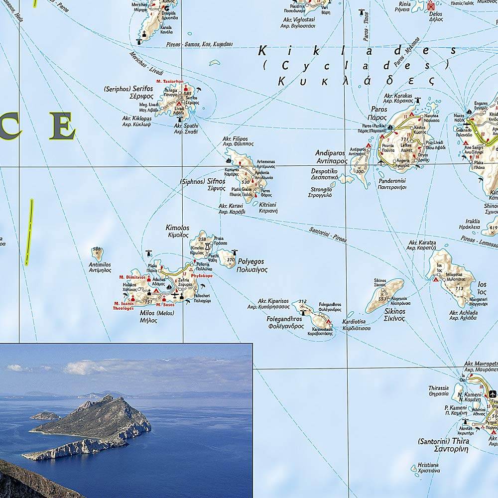
National Geographic's Greece Adventure Map is designed to meet the unique needs of adventure travelers with its durability and accurate information. This folded map provides global travelers with the perfect combination of detail and perspective, highlighting hundreds of points of interest and the diverse and unique destinations within the country. The front side of the Greece map shows the northern region of the country with Macedonia and Bulgaria to the north, Albania to the west and Turkey to the east. There are insets detailing the islands of Kerkyra and Zakynthos. The reverse side of the map details the southern portion of Greece showing the islands down to Crete. The map includes the locations of cities and towns with a user-friendly index, plus a clearly marked road network complete with distances and designations for major highways, main roads, and tracks and trails for those seeking to explore more remote regions. Every Adventure Map is printed on durable synthetic paper, making them waterproof, tear-resistant and tough – capable of withstanding the rigors of international travel. Each is two-sided and can be folded to a packable size of 235 x 108 mm; unfolded size is 965 x 660 mm.
- Publisher: National Geographic; 2012th edition (1 December 2014)
- Dimensions: 10.8 x 0.4 x 23.5 cm
- Language: English
- Map: 1 pages
- Book Type: Map
- ISBN-10: 1566956218
- ISBN-13: 978-1566956215
A$40.60
Shipping to Australia
Delivery time varies by location
Return & Refund Policy
Check our return & refund policy
Security & Privacy
Safe payments: We do not share your personal details
Availability:
-
In Stock
Sign in
or create an eMega account
Shop smarter — get exclusive deals & order tracking