Free Shipping – Store Wide
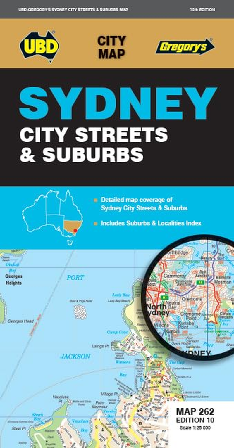
Sydney City Streets & Suburbs Map 262 10Th
Sydney City Streets & Suburbs Map 262 10Th
A$9.30
The latest edition of the Sydney City Streets and Suburbs Maphas been fully revised and updated and includes coverage at scales of 1:25 000 and 1: 100 000;
One side features mapping of Sydney city and surrounding suburbs at a scale of 1: 25 000 with coverage along the coast from Dee Why in the north to Malabar in the south; Inland from Gordon in the north to Kogarah in the south; North Head in the east and west of the city to Haberfield and Russell Lea;
The other side features Sydney suburban coverage at a scale of 1:100 000 from Gosford in the north Tahmoor in the south; Springwood in the west, and along the coast from Umina Beach in the north to Coalcliff in the south, with an index to the suburbs & localities on these maps.
With all this information contained in this one handy sized fold out map this is an essential tool to have when travelling in and around Sydney.
- Publisher: UBD Gregory's; Tenth edition (12 November 2024)
- Language: English
- Map: 1 pages
- Book Type: Map
- ISBN-10: 073193346X
- ISBN-13: 978-0731933464
A$9.30
Shipping to Australia
Delivery time varies by location
Return & Refund Policy
Check our return & refund policy
Security & Privacy
Safe payments: We do not share your personal details
Availability:
-
In Stock
Sign in
or create an eMega account
Shop smarter — get exclusive deals & order tracking