Free Shipping – Store Wide
South Australia State & Cities Map 519 11Th Ed Waterproof
South Australia State & Cities Map 519 11Th Ed Waterproof
A$11.55
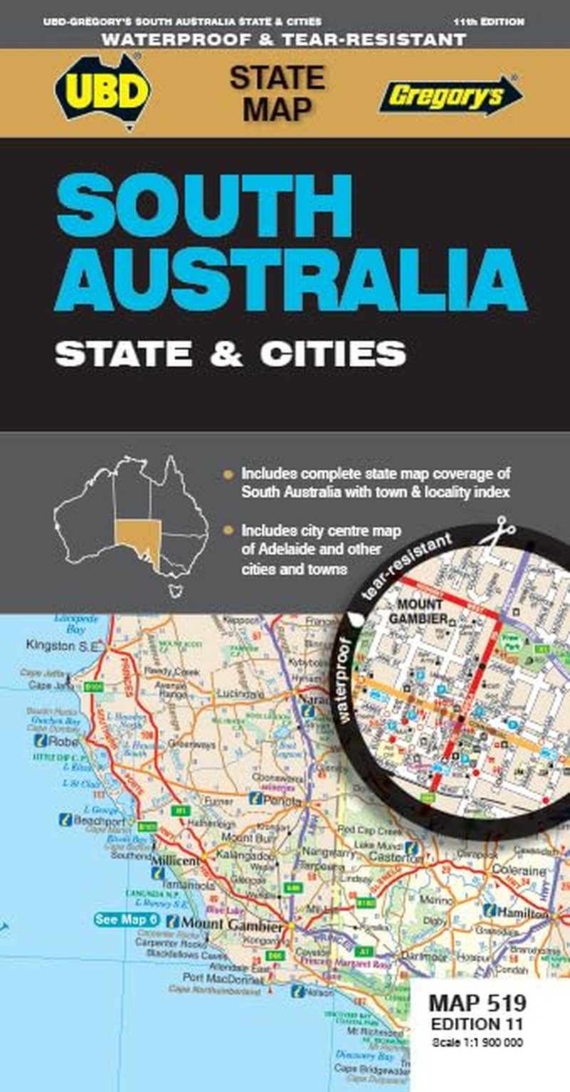
The latest edition of the South Australia State and Cities map is an essential tool when travelling in South Australia.
It includes a state map and index to towns and localities at a scale of 1 : 1 900 000 and state touring information. In addition to this, there is a map covering 150km around Adelaide including the Yorke & Fleurieu Peninsulas and Kangaroo Island at a scale of 1 : 100 000 and street level mapping for Adelaide City and Coober Pedy, Hahndorf, Kangaroo Island, Murray Bridge, Nuriootpa, Renmark and Victor Harbor.
It includes a state map and index to towns and localities at a scale of 1 : 1 900 000 and state touring information. In addition to this, there is a map covering 150km around Adelaide including the Yorke & Fleurieu Peninsulas and Kangaroo Island at a scale of 1 : 100 000 and street level mapping for Adelaide City and Coober Pedy, Hahndorf, Kangaroo Island, Murray Bridge, Nuriootpa, Renmark and Victor Harbor.
- Publisher: UBD Gregory's; Eleventh edition (1 November 2023)
- Dimensions: 52.3 x 20.3 x 1.1 cm
- Language: English
- Map: 1 pages
- Book Type: Map
- ISBN-10: 0731933249
- ISBN-13: 978-0731933242
A$11.55
Shipping to Australia
Delivery time varies by location
Return & Refund Policy
Check our return & refund policy
Security & Privacy
Safe payments: We do not share your personal
details
Availability:
-
In Stock
Sign
in
or create an eMega account
Shop smarter — get exclusive deals & order
tracking